Fish Hooks and
Chaos
How is it that there are ridges going both north and northeast?
I'm neither a geologist nor a Chaos Theory expert, but in nature one
can often find patterns on a large scale repeated on a smaller
scale.
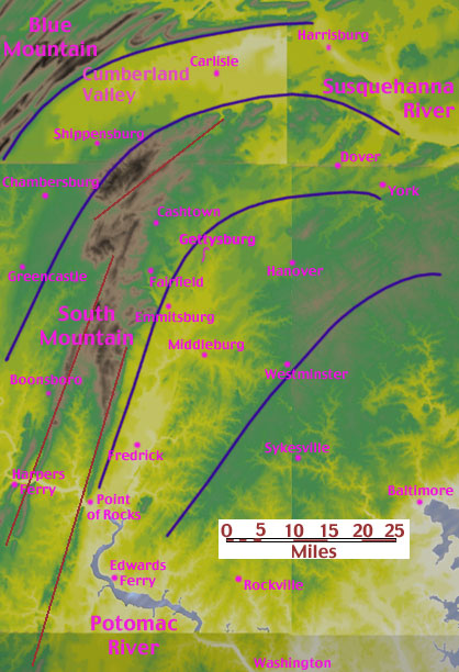
This page thus shows a maps at different scales. Fish hook, north
and northeast ridges emphasized. As above, so below. Hopefully, these
might give another perspective on the field.
|
|
Big Hooks
|
|
|
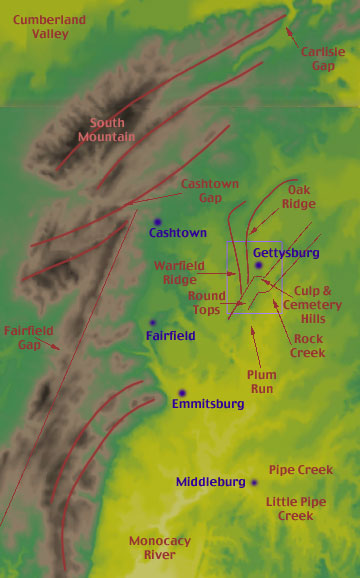
Intermediate Scale
South Mountain is in the upper left of the above map. The
blue outline around Gettysburg shows the boundaries of the
tactical map, below. Note, Seminary and Cemetery Ridges are
not major Terrain features, but are only where the armies
fought.
|
|
|
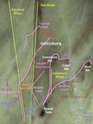
Tactical Map
There are many small northeast heading ridges not visible
on the larger scale maps.
|
NEXT : Looking
West