The View from
Cyberspace
Looking North
(The Penn RR Perspective)
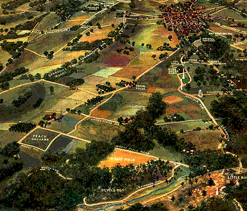
In 1913, the Pennsylvania Railroad commissioned a aerial
perspective of the Gettysburg field. It gives a truer impression of
the tree lines than most modern pictures, as the trees had not grown
in as much at that time.
This page shows both the Penn RR map and my own Bryce projection,
which attempts to duplicate the old perspective. The original version
of the RR map is hot. Clicking on the painting should bring you to
picture pages. This page might be the best tool to match up relative
positions of roads, hills and tree lines.
|
|
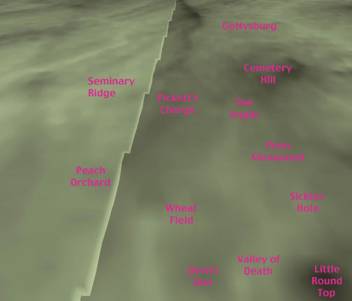
A Bryce 3D attempt to
duplicate the 1913 Penn RR Perspective
|
|
|
The 1913 Pennsylvania Rail
Road map
|
|
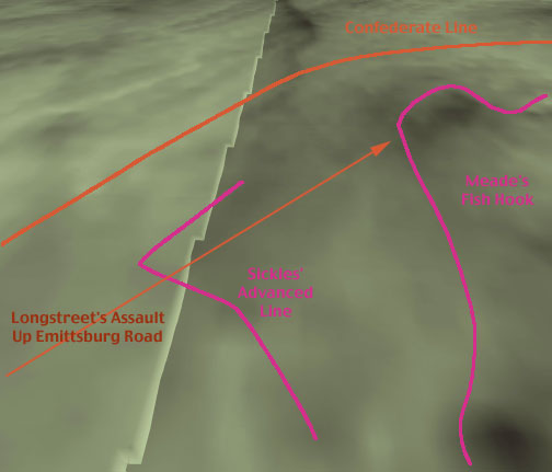
The Battle Lines, and the
original intent of
Longstreet's June 2 Assault
|
|
|
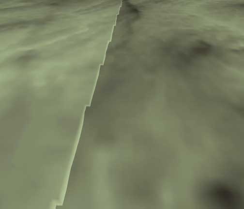
The Bryce Projection,
Unlabeled
|
|
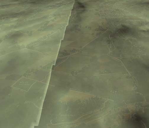
91% Bryce, 9% Penn RR
The two images combined.
|
The match on the last merged image is not perfect. This is mostly
laziness on my part, with perhaps some lack of computer accuracy on
the part of the 1913 artist. One can see how the roads tend to run
down wooded ridges, leaving the lower areas clear for farming.
NEXT : Fish
Hooks and Chaos Theory Another look
at the ridges.