 |
|
|
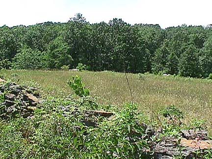
Would you give up Little Round top to defend this position? Behind Devil's Den is a dropping slope, and a clearing. This is Sickles' left flank in his advanced position. It is not a bad position. As we move on, we will find that both the Wheat Field and the Peach Orchard are along the same ridge. Here we have a stone wall, the high ground, and a clearing sans cover the opposition has to cross. What more could one want? (Little Round Top? The Valley of Death? What, are you greedy?)
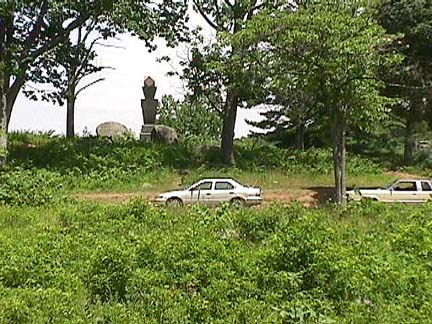 |
The is a shot from near the same spot as the first photo. While Sickles had infantry holding the wall, there were some guns positioned higher up. Looking back over the ridge line, one can see a few of the boulders of Devil's Den proper. These big rocks are common on the Devil's Den side of the ridge, and on the slopes of Little Round top. They are much fewer on the rear side of the ridge.
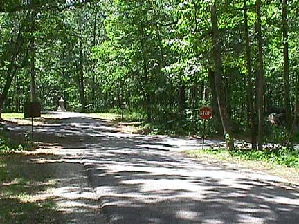 |
Devil's Den, the Wheat Field and the Peach Orchard are separated by bands of fairly heavy woods. This shot is representative of the wooded terrain which divides the famous stronghold positions. These pictures were taken on July 12 and 13, 1999. The foliage density should be fairly representative of the time. Of course, the Confederates would have encountered fewer Park Service roads and stop signs.
Next: The Valley of Death